Up to Country Scale Data Download in common GIS formats#
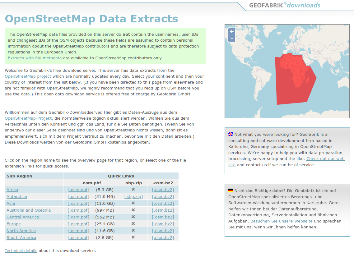
Geofabrik Download#
Geofabrik provides download of OSM snapshots in standard geodata formats such as ESRI Shapefiles. The data is divided into several regions, countries and sub-national units. For instance, Indonesia can be found as part of Asia by clicking on the Asia sub-region on the blue table. Geofabrik usually updates the data once every 24 hours. So if you just upload data to OSM, the data does not appear automatically when you download it, but you have to wait up to one day.
data is already prepared for specific regions based on administrative boundaries
standard geo-data format
data is pre-processed and not all original tags are available per OSM object
some objects are not considered at all in shapefiles
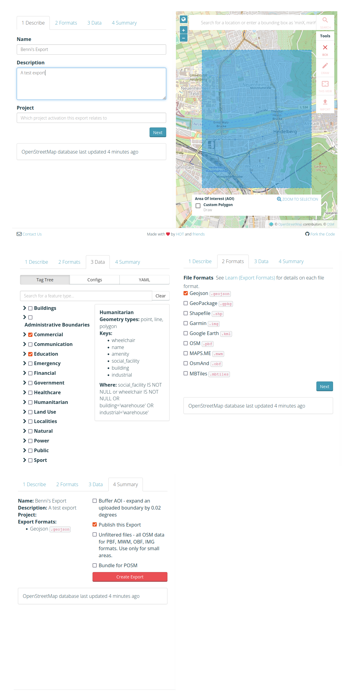
HOT Export Tool
The HOT Export Tool lets you create custom OSM extracts anywhere in the world, by selecting an area of interest, map features and file formats. You need an OSM account export OSM data with the Export Tool.
The Quick Start Guide will help to understand how it works.
you can define your custom area of interest (not only admin boundaries)
allows you to filter for the features you are interested in before download (reduces data size)
you can embed the Export Tool in your workflows using their API
the bounding box of the area can contain at most 10,000,000 OSM nodes
for very large areas or areas that are densely mapped you should consider another tool